 The Drone Ranger
Every good ranger scouts the territory first. Before every flight, we check these FAA airspace maps so each job in Gulf Shores, Orange Beach, Foley, and across Southern Alabama is flown safely and legally. They're free to use, so you can look too.
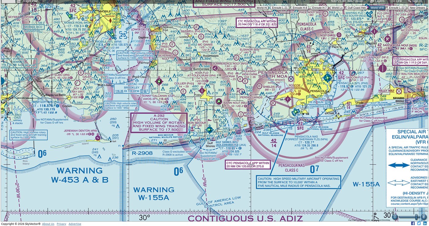
SkyVector shows the FAA's official VFR sectional charts, the same maps pilots use, laid over a scrollable online map. It shows the airspace classes around airports, plus airports, heliports, restricted and military areas, and obstacles like towers. We check it first to see the big picture of who else uses the sky over a job site. Around Gulf Shores, Orange Beach and Foley that includes local airports like Jack Edwards National Airport, helicopter traffic, and military training routes along the coast.
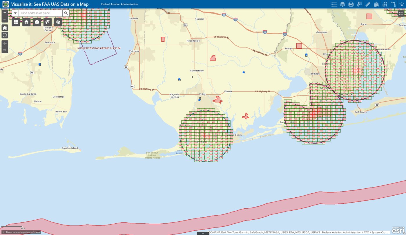
The FAA's UAS Facility Maps break the controlled airspace near airports into grid squares. Each square shows the highest altitude, in feet, where the FAA may approve drone flights. If a job site is in one of these squares, we request authorization through LAANC (the FAA's automated drone approval system) before flying, and we stay at or below the altitude shown. That keeps every flight legal and clear of manned aircraft.
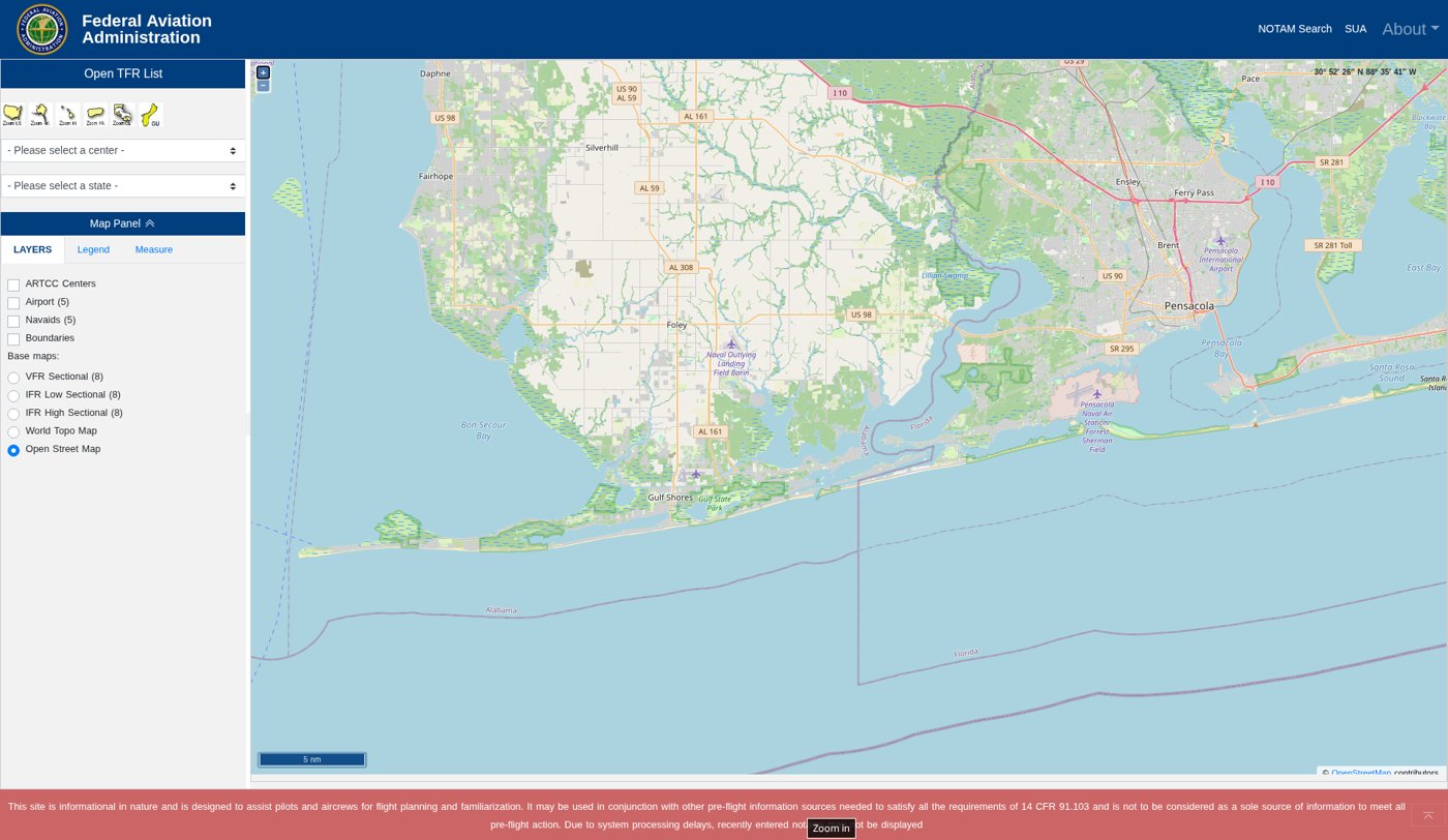
Temporary Flight Restrictions close off airspace for a limited time for things like VIP visits, wildfires, rescue operations, air shows, and big stadium events. They can pop up with little notice, so we check this FAA map on the day of every flight, right before takeoff. If a TFR covers the job site, we reschedule rather than risk it.
These maps help us plan, but on the day of a flight the FAA's current rules and authorizations always have the final say.